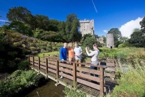
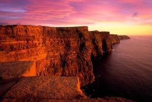
East Clare Way
Countyclare
Hill walking - walking tours
With a common goal to show tourists the best and most remote areas, the ten parishes of East Clare came together in the early 1990s and mapped out a walk that would be varied and interesting.
Approved by the National Waymarked Ways, the East Clare Way is 172km in length, ascending some 3,000 metres. The long-distance trail begins and ends in the heritage town of Killaloe and can be walked comfortably within 8 days. Stage lengths of the walk vary from 20 to 30kms.
The route explores the lakes and hills to the east of Lough Derg as well as the towns and villages of Kilbane, Broadford, O’Callaghans Mills, Ulla, Feakle, Flagmount, Mountshannon and Scariff. The trail also crosses the Slieve Aughty Mountains.
Guide books and Walkers Map Guides are available from local shops and tourist offices.
The East Clare Walking Festival will be taking place in Mountshannon between 4th and 6th October 2013.